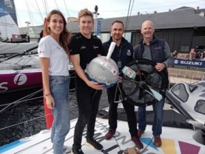
TiZef Sails initiative: When students link Humanitarianism, Science and Discovery
The TiZef Sails initiative’s primary mission is to provide amputee residents of Dominica with high-quality prosthetic limbs, in partnership with the Keep Walking Association https://www.kwa-france.org
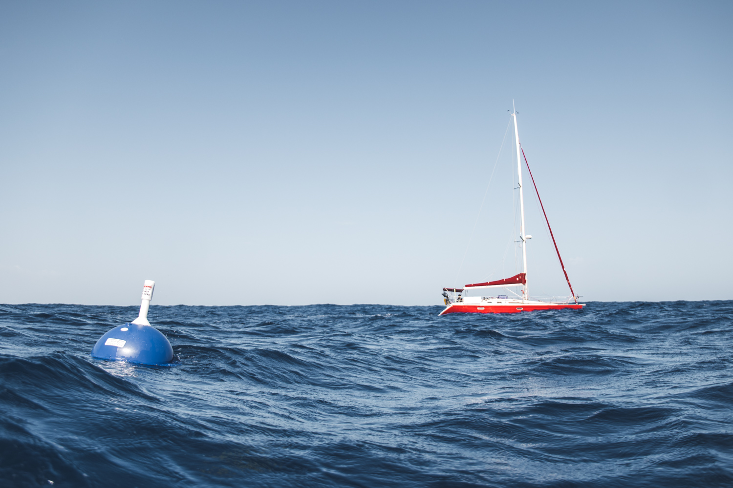
To this end, they are undertaking an extraordinary voyage, sailing from Europe with a carefully prepared stock of prostheses to be delivered directly to the association upon arrival.
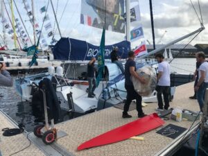
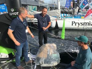
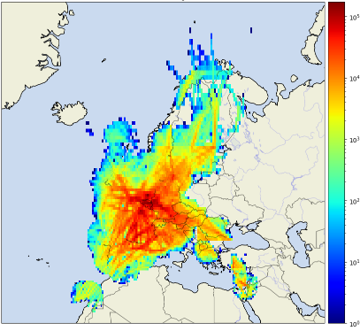
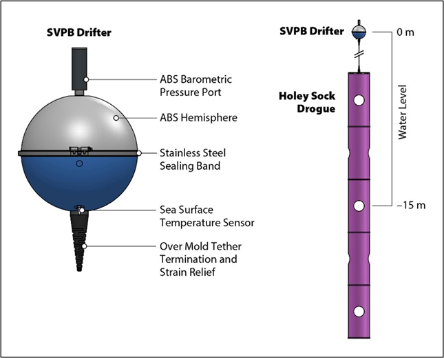
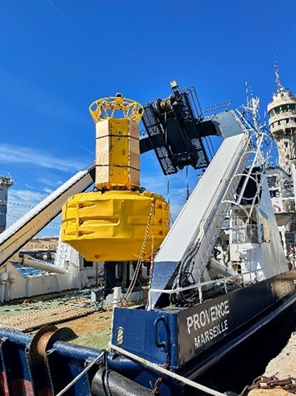
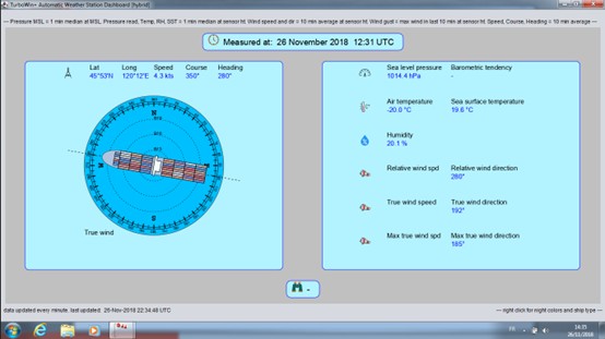
In addition to this inspiring humanitarian endeavour, we are pleased to take advantage of the journey by deploying two E-SurfMar drifting buoys during their crossing https://www.tizefsails.com/parcoursbateau.
These buoys will provide valuable data to support our ongoing oceanographic research and monitoring activities.
The E-SurfMar team would like to express sincere gratitude to TiZef Sails for enabling this unique collaboration. Their support not only advances an important humanitarian cause but also contributes significantly to the scientific understanding of our oceans.
Watch the video below for further information: